1
Yangtze River
- Length on source basis (km)
- 6300
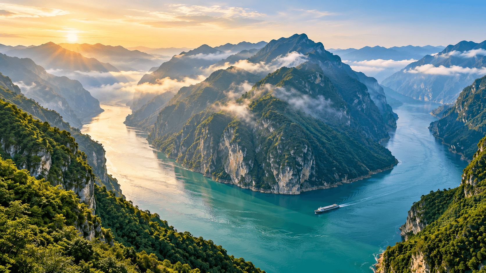
Ranked using China-internal river-length data based on the Encyclopedia of Rivers and Lakes in China. Transboundary rivers use the domestic reach recorded by the source. Headwater definitions and river-system boundaries affect lengths; this list follows the selected source’s conventions and does not recalculate them.
The first ten rows follow the selected row-by-row ranking source and its descending river-length order. The source states that its list is based on the Encyclopedia of Rivers and Lakes in China and counts only river length within China; foreign reaches of transboundary rivers are excluded. This table retains the source’s headwater and river-system definitions and does not remeasure them. Tarim uses the source’s four-sources/one-channel definition; Songhua uses the Nen source. An older NBS water-resources table gives Songhua as 2,308 km and Pearl as 2,214 km; the selected source gives Songhua as 2,309 km. Authoritative sources give other lengths for Tarim, Nu, and some other rivers, so the title identifies this as a source-specific comparison and the source notes disclose the differences.
References: 8. Page edits do not imply that the underlying data is newer.
This ranking follows one China Rivers and Lakes Encyclopedia source table. Transboundary rivers use the China-internal lengths listed by that source; Tarim follows its four-sources/one-channel definition. Authoritative references can differ because they define headwaters and river systems differently; see the source notes.
No sign-in required. Feedback is reviewed before any content is changed. Limit: 5 per day.
This public row table lists main-stem lengths within China, order, and provinces, and states that the order follows the Encyclopedia of Rivers and Lakes in China, excludes foreign reaches, and varies with source definitions. It is used as an accessible row-by-row transcription; the underlying references are the corresponding basin volumes of the Ministry of Water Resources-organized encyclopedia. Tarim follows its four-sources/one-channel convention.
| Rank | River | Length on source basis (km) |
|---|---|---|
| 1 | Yangtze River | 6300 |
| 2 | Yellow River | 5464 |
| 3 | Heilongjiang (Amur) | 3414 |
| 4 | Tarim River | 2572 |
| 5 | Songhua River | 2309 |
| 6 | Pearl River | 2214 |
| 7 | Lancang River | 2161 |
| 8 | Yarlung Tsangpo | 2057 |
| 9 | Nu River | 2013 |
| 10 | Han River | 1577 |
The publisher states that the encyclopedia was compiled by experts organized by the Ministry of Water Resources and basin agencies, with volumes organized by basin and systematic river-length, water-system, and river/lake records. Relevant entries are in the Yangtze, Yellow, Heilongjiang–Liao, Northwest Rivers, Pearl, and Southwest Rivers volumes.
The National Bureau of Statistics yearbook says the figures came from the Ministry of Water Resources’ second water-resources assessment for 2002–2005. It lists the Yangtze at 6,300 km, Yellow at 5,464 km, Songhua at 2,308 km, and Pearl at 2,214 km. Songhua differs by 1 km from the selected encyclopedia transcription’s 2,309 km, which this table follows.
The water-department reference gives 2,309 km from the Nen River source and 1,897 km from the Second Songhua source; the selected ranking source uses the Nen source. The old 1,927 km matched neither figure.
The Institute of Geographic Sciences and Natural Resources Research, Chinese Academy of Sciences, gives the Yarlung Tsangpo within China as 2,057 km, matching the selected ranking source.
The report gives the Lancang–Mekong main stem as 4,880 km overall and about 2,161 km within China, matching the selected ranking source. An environmental-assessment document gives 2,153 km, reflecting different source or measurement conventions; this table follows the selected ranking source’s 2,161 km.
The county government gives 2,179 km and describes formation from the Aksu, Yarkand, and Hotan rivers. The selected ranking source uses the four-sources/one-channel definition and gives 2,572 km; the old list used 2,179 without identifying its source convention.
The Hanzhong local gazetteer office gives the Han River’s full length as 1,577 km, from its source at Bozhong Mountain to its confluence with the Yangtze in Wuhan, matching the selected ranking source.
Rank changes are shown only for verified data editions with the same metric, scope and methodology.
Comments