1
Mount Everest
- Range
- Himalaya
- Summit location
- China–Nepal border
- Elevation (m)
- 8848.86
- Rank on global peak list
- 1
- Year of first ascent
- 1953
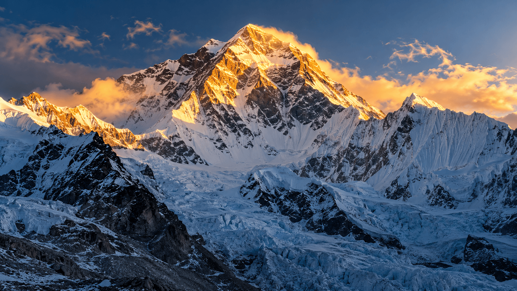
Includes independent summits located in China or on an international border of China. Peaks are ranked by elevation; the independent-peak cutoff is at least 500 m of topographic prominence. Border summits count, while peaks marked as subsidiary by the source do not count as separate mountains.
Scope: summits located in China or on an international border of China. Independence rule: at least 500 m topographic prominence; ranked by elevation descending. Global ranks and prominence follow the global peak table; peaks marked S as subsidiaries are not counted as independent mountains. 8000ers.com is used to check the country/region labels of main eight-thousanders. Everest uses the 8,848.86 m snow-surface height announced by China and Nepal. Other elevations follow the global ranking table’s whole-metre display. Another source gives Gasherbrum II as 8,034 m; this table follows the ranking source’s 8,035 m. The list does not adjudicate the political status of disputed regions.
References: 3. Page edits do not imply that the underlying data is newer.
The scope follows summit location and does not require the entire mountain to lie within China; China-border peaks count. The global peak table and 8000ers.com country/region records were used to select independent summits with at least 500 m prominence, then rank them by elevation. Everest uses the 8,848.86 m snow-surface height jointly announced by China and Nepal in 2020. Kangchenjunga lies on the Nepal–India border and is excluded; Gasherbrum III has 355 m prominence and is identified as a subsidiary peak, so it is not counted separately. The global list gives Gasherbrum II as 8,035 m while 8000ers.com gives 8,034 m; this table follows the global ranking list’s 8,035 m.
No sign-in required. Feedback is reviewed before any content is changed. Limit: 5 per day.
The global peak table lists world rank, rounded elevation, topographic prominence, range, first ascent, and country/region row by row; it labels Gasherbrum III as a subsidiary peak (S). This ranking uses its independent-peak order, prominence, and elevations with an explicit minimum prominence threshold of 500 metres.
This mountaineering reference lists elevations, countries/regions, ranges, and first ascents for the 14 main eight-thousanders and explains its map sources. It cross-checks the nine main eight-thousanders on China’s borders and Kangchenjunga’s country labels. It gives Gasherbrum II as 8,034 m, one metre below the global list’s 8,035 m; this table follows the ranking source and displays 8,035 m.
| Rank | Peak | Range | Summit location | Elevation (m) | Rank on global peak list | Year of first ascent |
|---|---|---|---|---|---|---|
| 1 | Mount Everest | Himalaya | China–Nepal border | 8848.86 | 1 | 1953 |
| 2 | K2 | Karakoram | China–Pakistan border | 8611 | 2 | 1954 |
| 3 | Lhotse | Himalaya | China–Nepal border | 8516 | 4 | 1956 |
| 4 | Makalu | Himalaya | China–Nepal border | 8485 | 5 | 1955 |
| 5 | Cho Oyu | Himalaya | China–Nepal border | 8188 | 6 | 1954 |
| 6 | Gasherbrum I | Karakoram | China–Pakistan border | 8080 | 11 | 1958 |
| 7 | Broad Peak | Karakoram | China–Pakistan border | 8051 | 12 | 1957 |
| 8 | Gasherbrum II | Karakoram | China–Pakistan border | 8035 | 13 | 1956 |
| 9 | Shishapangma | Himalaya | China (Tibet) | 8027 | 14 | 1964 |
| 10 | Gyachung Kang | Himalaya | China–Nepal border | 7952 | 15 | 1964 |
China and Nepal jointly announced the snow-surface height of 8,848.86 m on 2020-12-08 and identified Everest as their border peak. This replaces the global table’s rounded value for the displayed elevation.
Rank changes are shown only for verified data editions with the same metric, scope and methodology.
Comments